Ravna gora
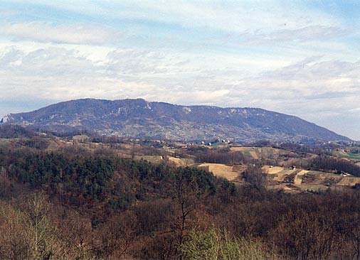
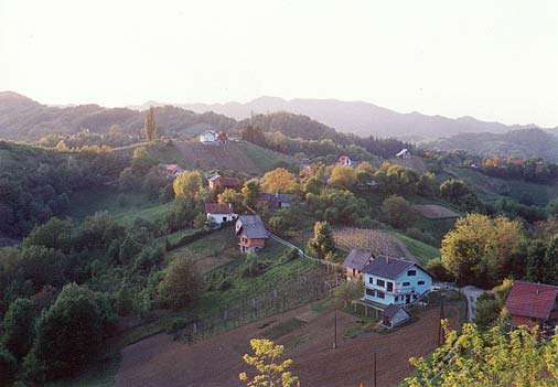
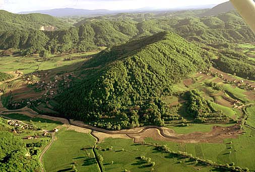
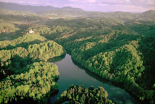
Ravna gora mountain is the northern mountain of the Hrvatsko zagorje region. It is positioned in the upper delta of the Bednja river and it is considered to be the last range of the Southern Alps. It stretches from the west (Trakošćan) towards the east (Donja and Gornja Voća) and it is 13 km long. The highest peak is at 686 m above sea level and there you can enjoy the scenery from the steel tower, the viewpoint. The highest peaks towards the east are: Ravna gora (677 m), Kukelj (517 m), Vukovoj (480 m), Krišnjakovo brdo (379 m) and Furkovo brdo (473 m). Ravna gora mountain is covered mostly with deciduous trees (oak /Quercus Petraea/, hornbeam, chestnut trees) and higher areas are covered with beeches and pine trees. The limestone presence (in sinks, caves, canyons) makes Ravna gora interesting tourist and hiking destination. The hikers and tourists have two climbers´ lodging at their disposal: "Pusti duh" (at an altitude of 672 m) with lodging space for 20 people and "Filićev dom" (at 660 m of altitude) with the capacity of 70 beds in 16 rooms. Ravna gora is also great for paragliding, mountain cycling, walks, hunting, mushroom gathering. The most attractive cliff is the one on the north-west of the mountain, above the village Cvetlin, which is marked for alpine climbing. How to get to Ravna gora? It is easy: you can try on foot (there are very well marked paths from Trakošćan- 90 minutes, Bednja- 2 hours and Lepoglava- 3 hours). You can also get there by car following the gravel road from Kamenica or Višnjica.
